Magnitude 7.6 earthquake strikes off Honduras coast: USGS

A powerful and shallow 7.6-magnitude earthquake hit the waters off the coast of Honduras late Tuesday, triggering tsunami threats and advisories for nearby Caribbean shores, though there were no immediate reports of damage or injuries.
The quake struck at 02:51 GMT and its epicenter was located some 27 miles (44 kilometers) east of Great Swan Island, according to the US Geological Survey (USGS). It was provisionally considered to be shallow.
Honduran President Juan Orlando Hernandez said authorities had activated the country's emergency system, but urged people to "please remain calm."
"Based on the preliminary earthquake parameters, hazardous tsunami waves are possible for coasts located within 1,000 kilometers of the earthquake epicenter," the US National Weather Pacific Tsunami Warning Center said.
Tsunami advisories, which are a level below warnings, were issued for Puerto Rico and the Virgin Islands.
Cuba, Mexico, Honduras, Belize and Jamaica, meanwhile, were issued "threat" warnings of waves from 0.3 to one meter high.
The USGS's PAGER algorithm assigned the event a "green alert," meaning a low likelihood of casualties and damage.
"Overall, the population in this region resides in structures that are vulnerable to earthquake shaking, though resistant structures exist," it said.
(Source: AFP)

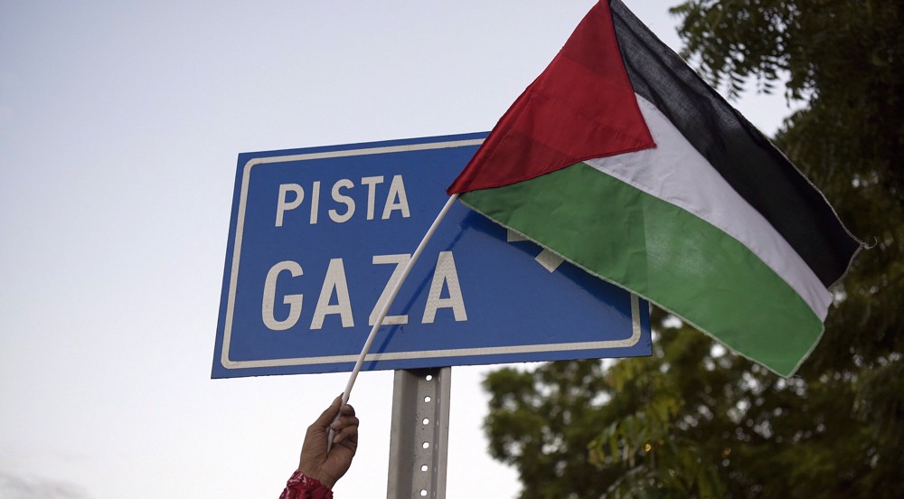
Barbados officially announces recognition of Palestine as state

Mexico asks UN to expel Equador following embassy raid
Nicaragua closes embassy in Berlin after suing Germany over Gaza genocide


Hezbollah pounds Israeli military outposts, spying devices near border
VIDEO | Iran tackles Zionists
Israeli occupation of Palestine ‘main cause of instability’ in region: Turkish FM
VIDEO | Columbia students camp on university grounds in support of Palestinians
VIDEO | Muslim unity and Palestine
UN Security Council's inaction prompted Iran to attack Israel: FM
Know their names: Palestinian athletes, scouts, coaches killed by Israel in Gaza
'It was not a strike': Iran FM dismisses Israeli weapons as 'children toys'