Nine killed in 6.7-magnitude earthquake in northeast India
A powerful 6.7-magnitude earthquake that struck northeastern India and was felt in neighboring Bangladesh and Myanmar has claimed the lives of at least nine people, officials say.
On Monday, officials said at least six people lost their lives in India, while three were reported to have died in neighboring Bangladesh.
More than 200 people were also injured in the quake.
"A six-story building in the capital was partially damaged and some small structures have also developed cracks," said Anurag Gupta, an official with the Indian National Disaster Management Authority.
Indian Home Ministry spokesman Kuldeep Singh Dhatwalia also confirmed the number of casualties.
According to the US Geological Survey (USGS), the quake took place at 4:35 local time (23:05 GMT) Sunday, about 29 kilometers (18 miles) northwest of Imphal, the capital of Manipur State.
The earthquake, which was initially measured at 6.8-magnitude, struck at a depth of 17 kilometers (10 miles) and was centered in an isolated area in India.
Locals say the quake was felt as far away as 600 kilometers (370 miles).
This comes days after a 5.8-magnitude earthquake, which was also felt across northern India, hit Afghanistan's Hindu Kush region.
The region is prone to earthquakes, which are caused by the northward collision of the Indian and Eurasian plates.
Last April, some 9,000 people were killed in an earthquake in Nepal, which is located northeast of India.
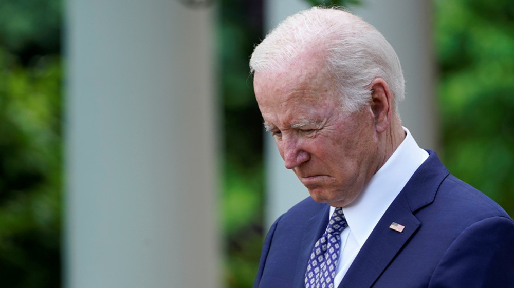
Japan, India criticize Biden for labeling them as 'xenophobic'
Indian opposition's social media head arrested over doctored video
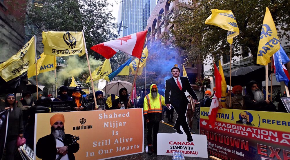
Canada nabs three Indians over assassination of Sikh leader


Islamic Jihad: Al Jazeera shutdown meant to conceal Israel’s war crimes
Leader: Israeli brutality, Palestinian resistance show the way forward
US campus protests show Zionists failed to manipulate public opinion in West
Iran performs first organ transplantation surgery from brain dead patient
VIDEO | Iran-Africa Economic Conference
Israel orders 100,000 Palestinians to evacuate Rafah ahead of ground invasion
EU naval mission says 'most powerful systems' fail to confront Yemenis: German media
Hamas says seeks ‘comprehensive truce' as Israel hell-bent on war, blockade